Itinerary Description:
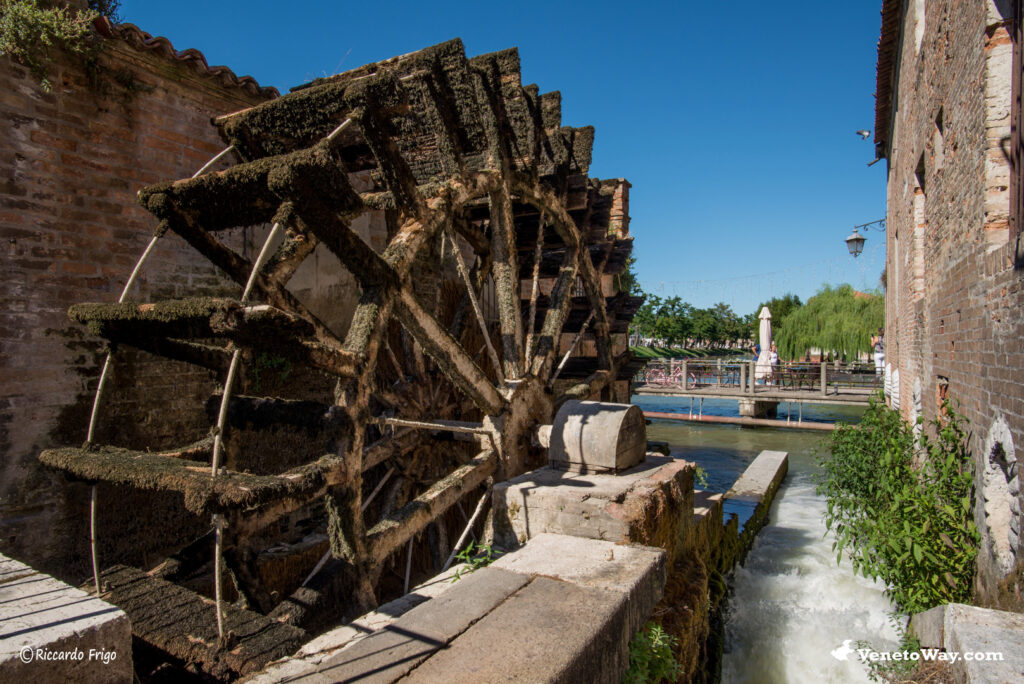
The town of Dolo has an ancient history. It was likely first a Roman mansio and later a medieval village, but its true economic development began only during the era of the Venetian Republic (the Serenissima) when it was chosen as a suitable place to divert the course of the Brenta in order to stop the progressive silting up of the Lagoon. In the early 1500s a canal was opened and in 1543 it was decided to build mills, giving rise to a real economic center – a meeting place and trading center where the various agricultural, craft, commercial and even early tourist activities coexisted, generating prosperity.
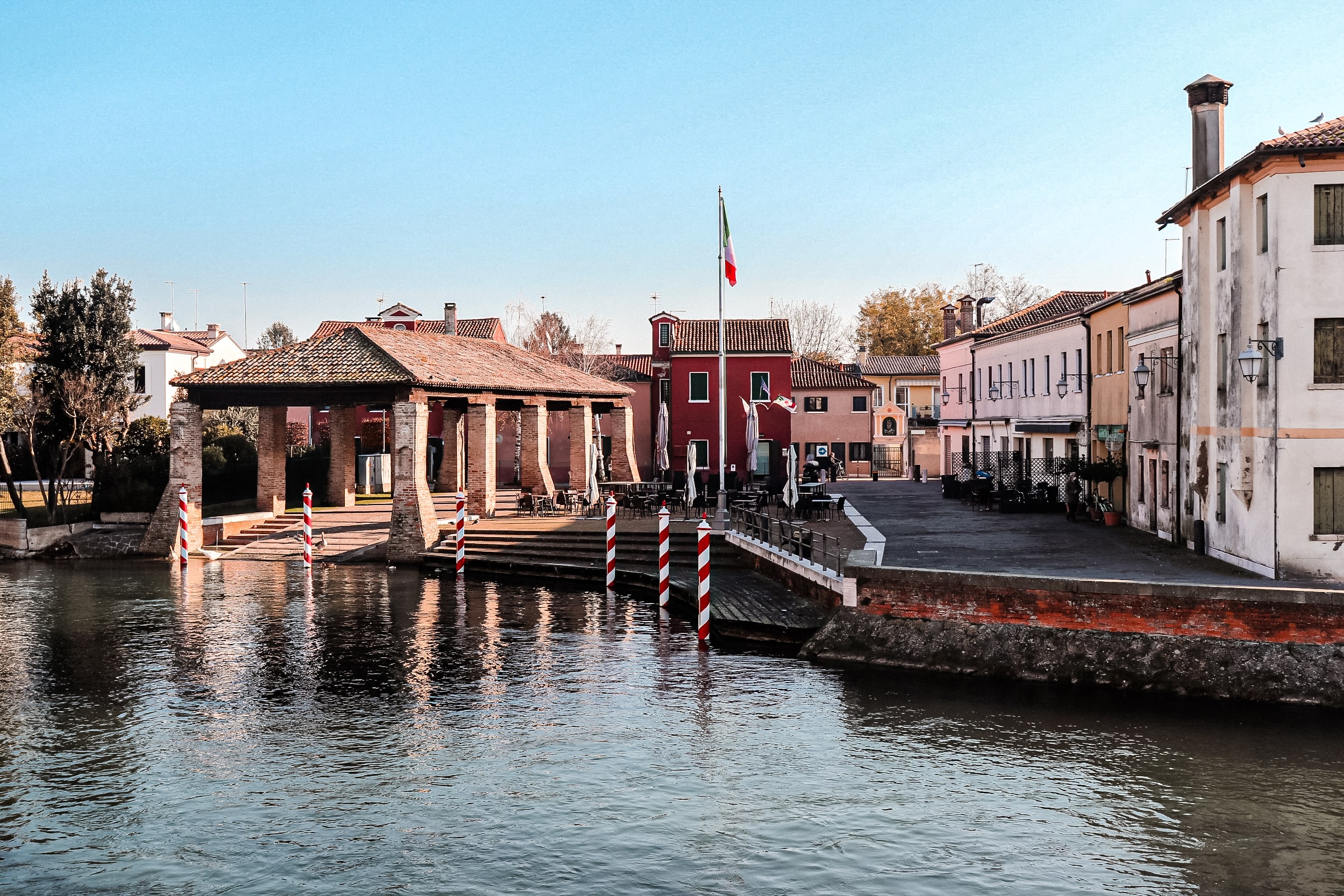
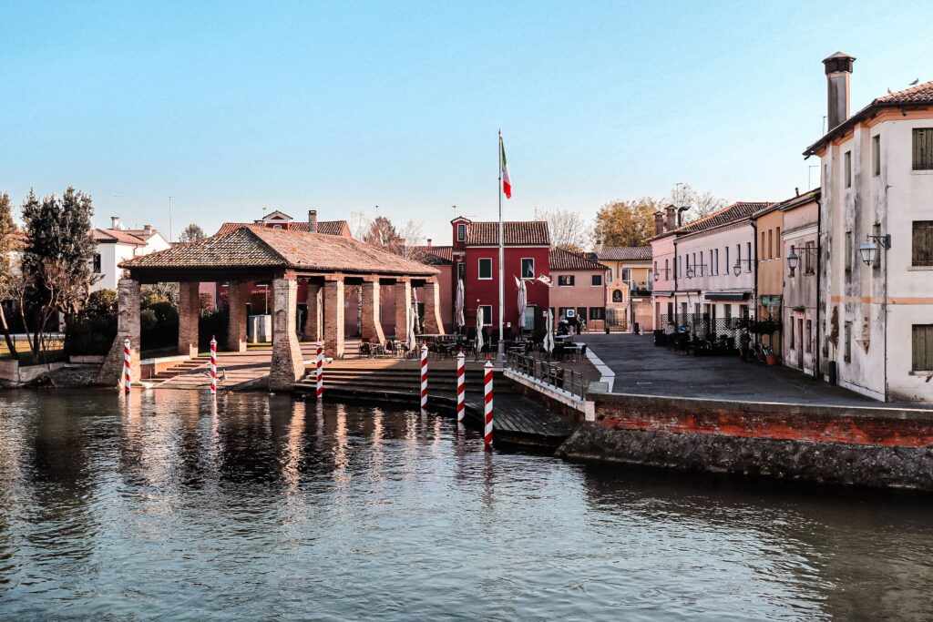
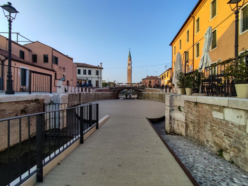
The starting point is the Lower Island, once called “Island of Bad Weather,” which is the old part of Dolo. More precisely, we start from the Monumental Boatyard, the Squero Monumentale, an ancient covered shipyard where boats navigating along the Brenta were repaired.
We start the walk in the direction of Ponte del Vaso bridge where we can notice the new Dolo Locks. Crossing the bridge we turn right onto Via S. Giacomo and immediately left onto Via Marzabotto. When we reach a small traffic circle we turn left onto Via dei Frati.
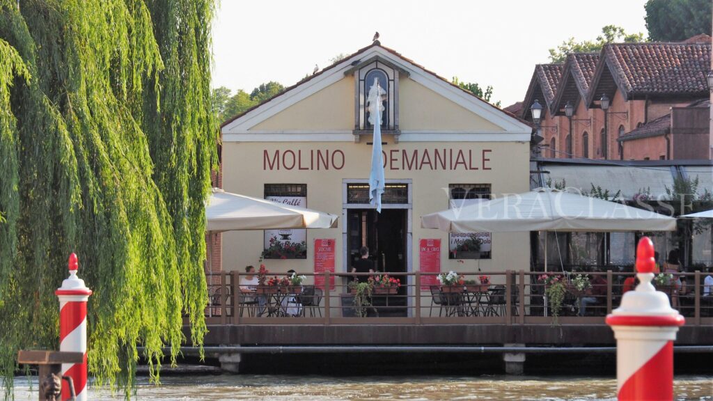
Here begins a partly unpaved path that continues along Via Redipuglia, surrounded by fields, which continues all the way to the hamlet of Paluello, under the municipality of Stra. From there, we reconnect with Via Dolo, and by walking along the Naviglio Brenta we eventually return to Dolo’s Boatyard. Here, we suggest enjoying a refreshing aperitif by the river at the charming Enoteca Molini.